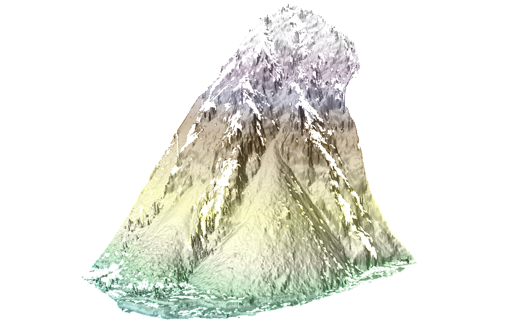
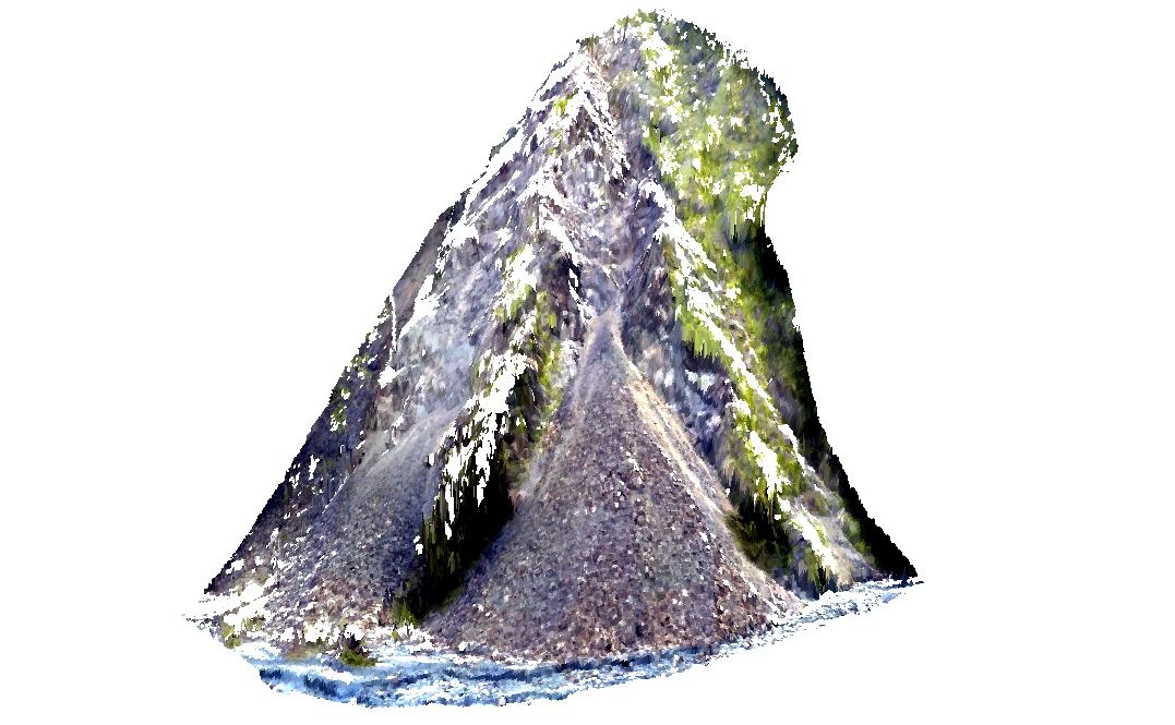
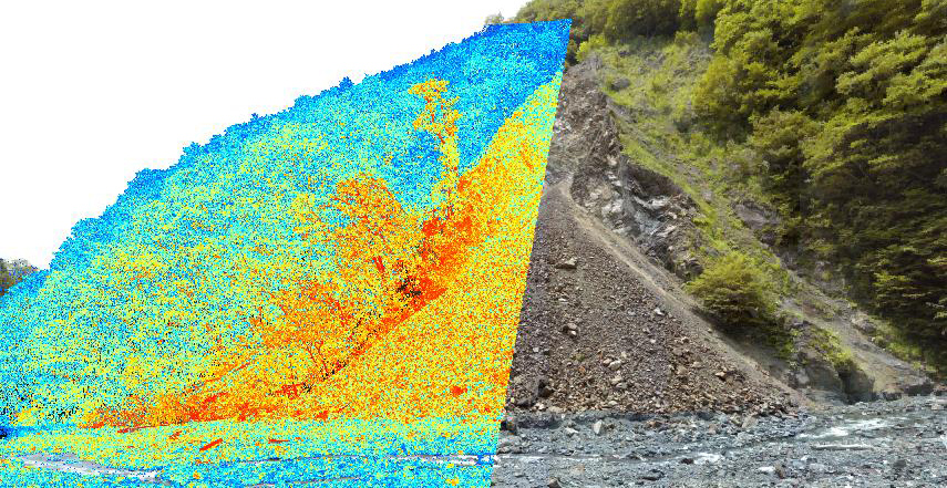
データセット詳細 / Details of the dataset
- ID
- 015001201000
- データセット名
Dataset Name 東河内流域崩壊地TLSデータセット
Higashi-gouchi catchment shallow landslide TLS dataset
- 画像
Images -


- 提供機関
Vendor 地形鮮明化プロジェクト事務局
HD Topography Project
- 概要
Description ==概要 ==
==Overview ==
東河内流域(静岡市葵区)において、地上レーザスキャンにより取得された、崩壊地の3次元点群およびDEMデータです。
==詳細 ==
;測量時期
:2010年7月
;データ作成者
:早川裕弌
;使用機器
:Topcon GLS-1500
;ファイルタイプ
:TXT形式, ASCII形式
;点数
:1,708,013点
;範囲面積
:約5,000平方m
;平均点密度
:N/A
;座標系
:平面直角座標系8系(JGD2000) / EPSG: 2455
point cloud and DEM of a landslide in Shizuoka obtained by TLS.
==Details ==
;Date of acquisition
:Jul. 2010
;Data provider
:Yuichi S. Hayakawa
;Device used
:Topcon GLS-1500
;File type
:LAS, ASC
;Total returns
:1,708,013 pts
;Area
:ca. 5,000 sq. m
;Mean point density
:N/A
;Coordinates system
:Japan Plane Rectangular CS XIII (JGD2000) / EPSG: 2455
データ一覧 / Data list
- ID
- 015001201001
- データ名
Data Name -
point cloud (txt)
point cloud (txt)
- ID
- 015001201002
- データ名
Data Name -
20-cm DEM (asc)
20-cm DEM (asc)